New observations about Earth presented in the Living Planet Symposium 2025
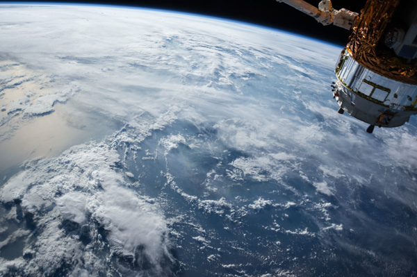
[Earth seen from space. Photo Credit to PxHere]
From June 23 to June 27, The Living Planet Symposium was held in Austria.
About 6,500 participants from 120 countries took part in the symposium.
This event is held every three years and serves as a forum for presenting environmental discoveries based on data that observes the Earth.
The symposium typically runs for five days and is held in Vienna.
The organizing committee outlined their objectives to establish an opportunity for sharing different observations regarding “Earth science frontiers, climate action and sustainability challenges, Earth observation missions, digital innovation and green solutions, partnerships with industry for new applications, and global cooperation and policy support.”
At this year’s symposium, a groundbreaking discovery and study related to biomass monitoring was revealed.
Earlier this year, on April 29, the European Space Agency (ESA) launched an earth-observing satellite to examine the amount and distribution of carbon on Earth.
The biomass satellite utilizes SAR, which employs P-band electrical signals.
SAR stands for ‘Synthetic Aperture Radar,’ a technology that takes pictures of the Earth’s surface through radar waves.
This radar operates in the P-band range, which has longer wavelengths compared to other transmissions.
These signals can penetrate forest canopies to capture the structure of trees and branches, allowing researchers to gain an understanding of the amount of carbon stored in rainforests across Earth.
This technology is expected to play a critical role in monitoring climate change and developing possible solutions to global warming.
Rainforests are crucial ecosystems as they contribute to the biodiversity of the environment.
These ecosystems influence other parts of the world as they consist of thousands of trees which are vital for carbon storage in the environment.
The symposium presented several images that display the density of carbon in rainforests using green, purple and red coloring.
These colours represent varying amounts of carbon stored in the forest.
Scientists can view these images in real-time as satellites transmit data, which they then examine and analyze to produce a 3D map of the Earth’s forests and the amount of carbon stored in them.
This capability makes the symposium particularly important for sharing information gathered through satellite technology and spreading awareness about forest carbon monitoring.
Moreover, the biomass satellite technology will be effective in detecting any massive deforestation or losses in particular areas on Earth.
The satellite can also be applied to ice, capturing images that send electrical signals through ice formations.
This data can be used to monitor massive melting glaciers, which indicate rising global temperatures.
As Michael Fehringer, ESA's Biomass Project Manager, notes, “These first images are nothing short of spectacular and they're only a mere glimpse of what is still to come.”
However, there are difficulties in the biomass project as it is expected to take about 5.5 years to achieve its full objectives.
The team faced challenges in the operating and funding stages, with lengthy negotiations and obstacles before overcoming the high costs and complicated coding processes.
Despite these challenges, the team has succeeded in transmitting photos of the Earth’s surface.
To view these images, visit the Living Planet Symposium website.

- Heeseo Han / Grade 11